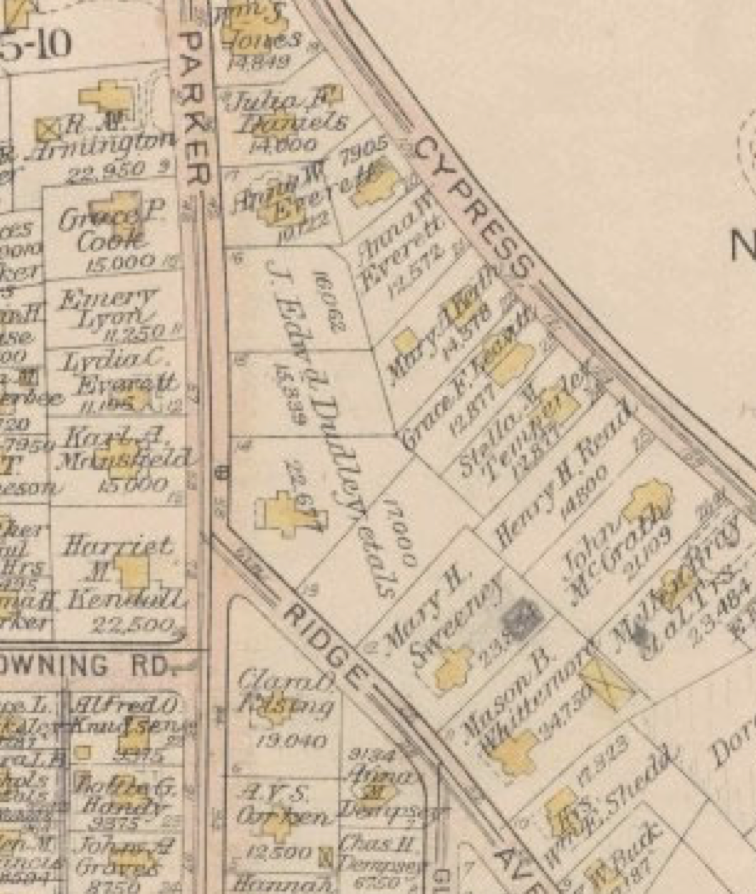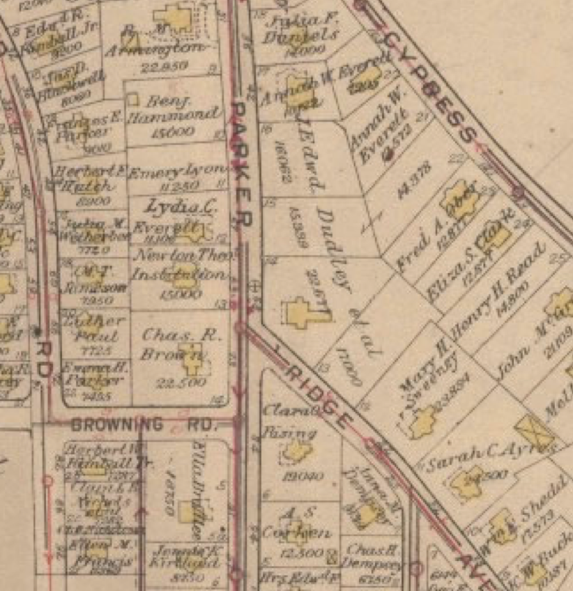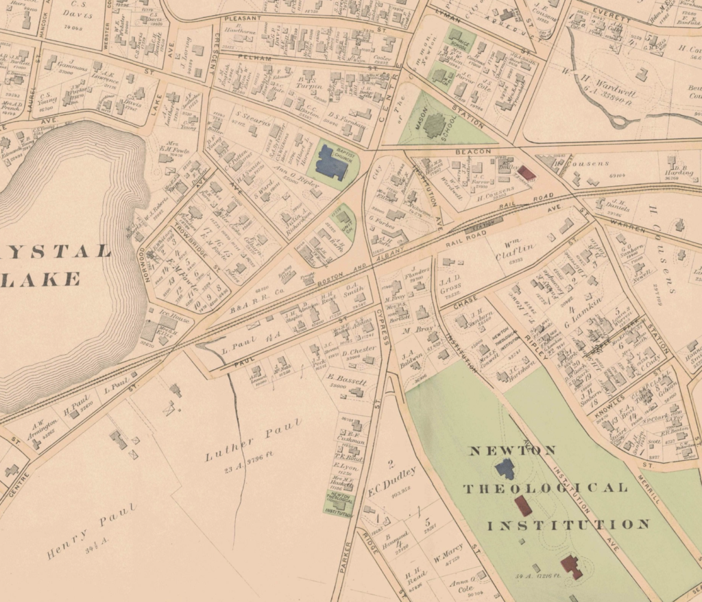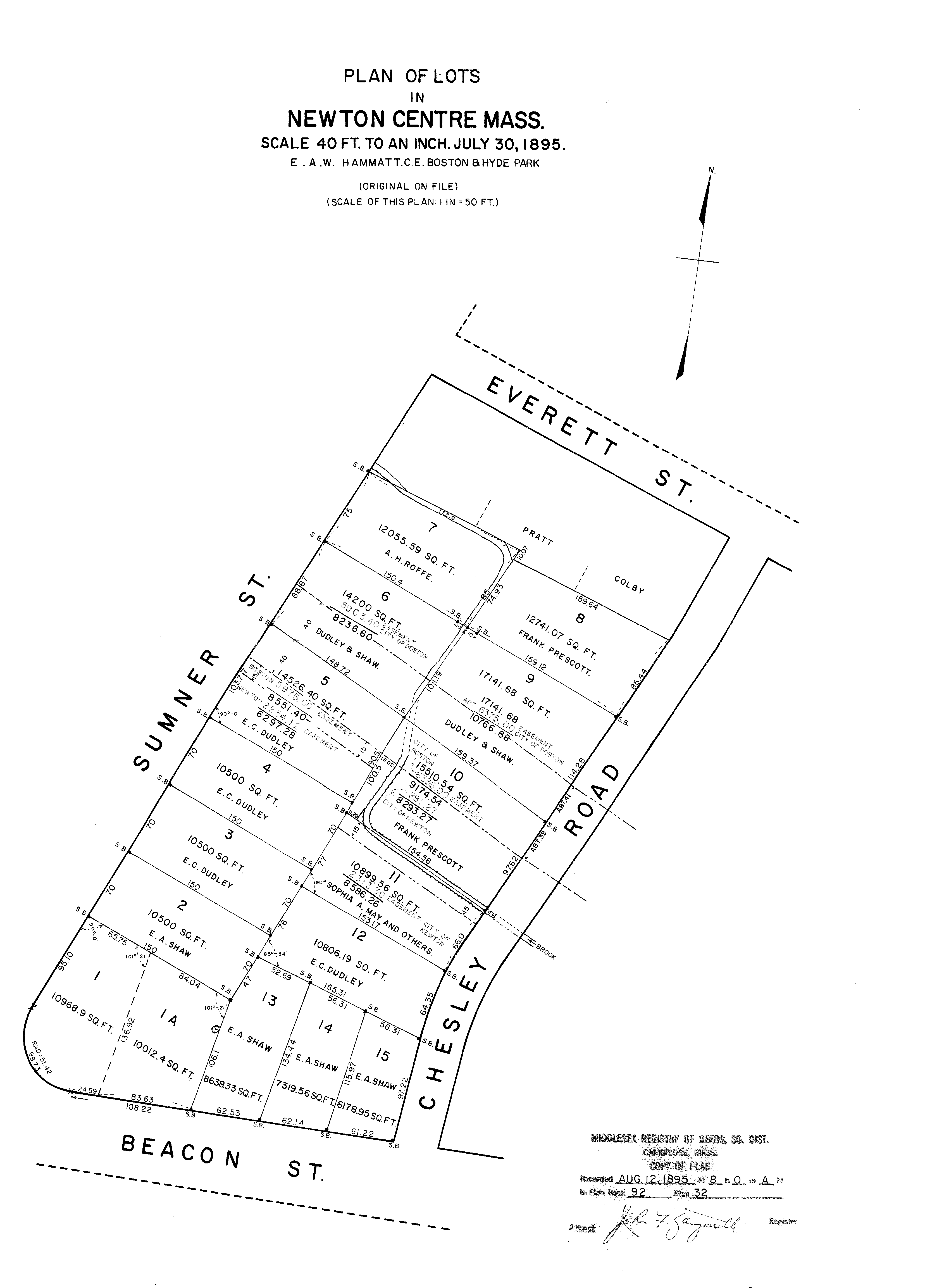
1895 Lot Layouts
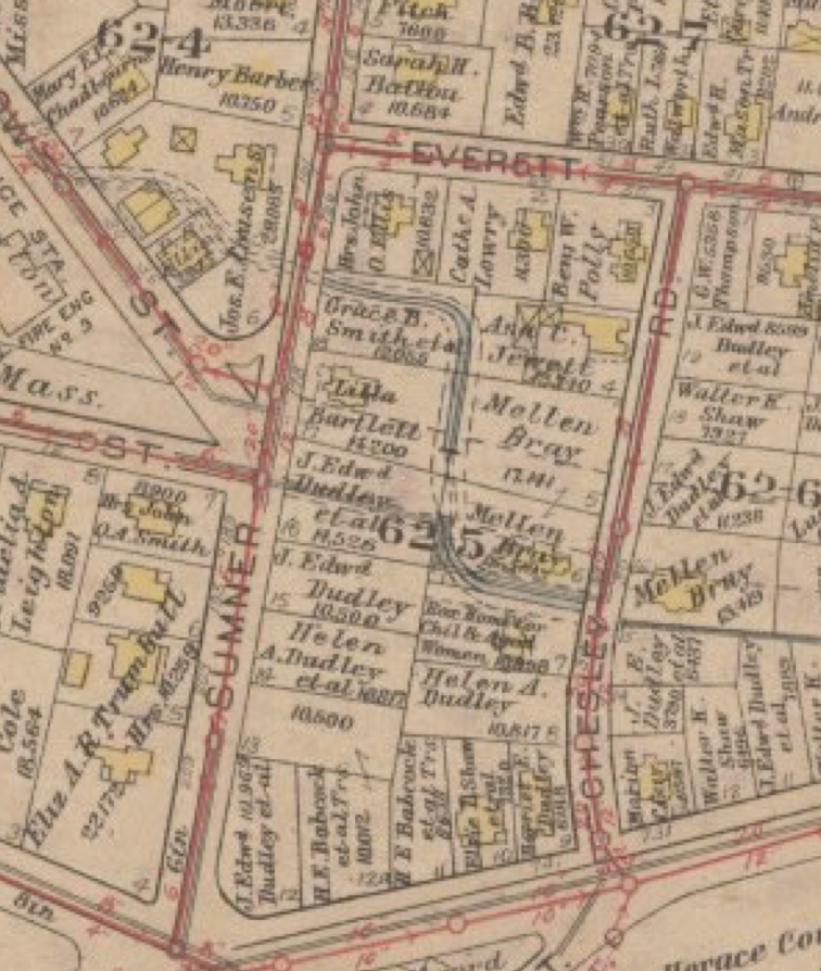
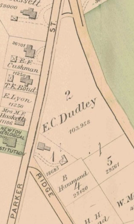
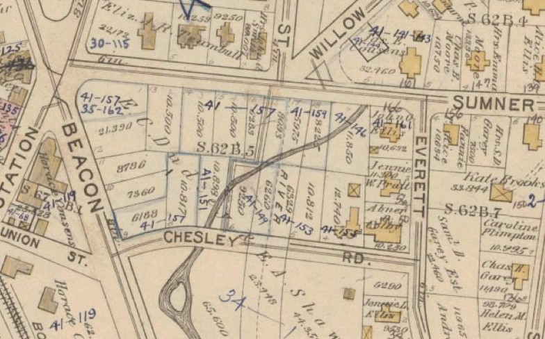
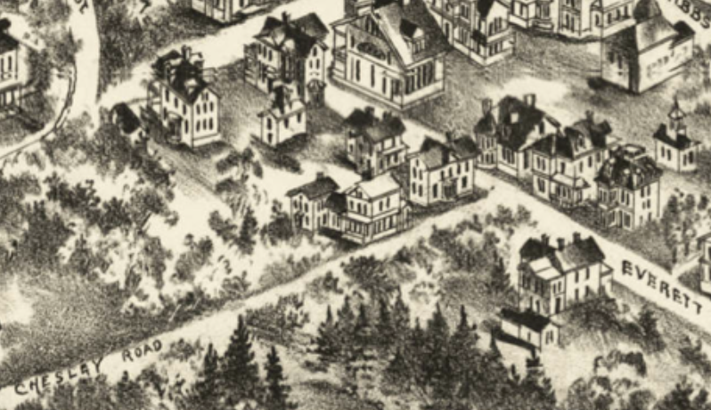
History of the home at 11 Chesley Rd
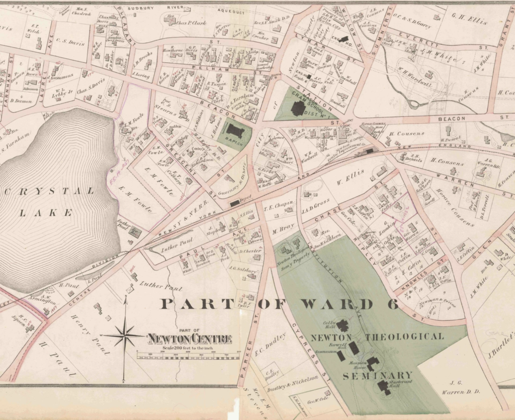
In 1895 the 64 Parker St. house still shown while Chesley is there? How long did these maps take to draw and update?
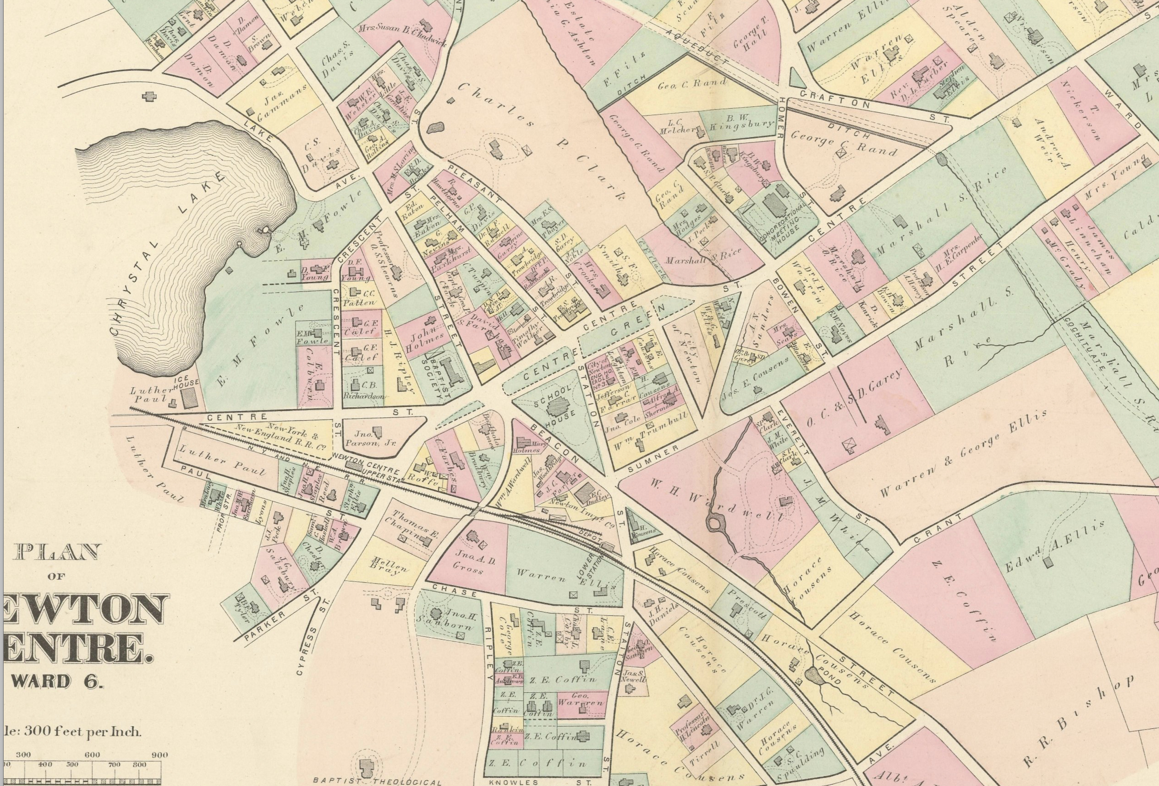
https://www.newtonma.gov/home/showpublisheddocument/790/637220116361730000
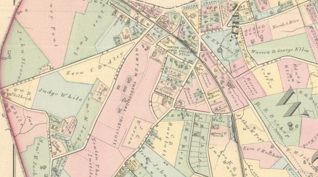
You can see the two front rounded windows
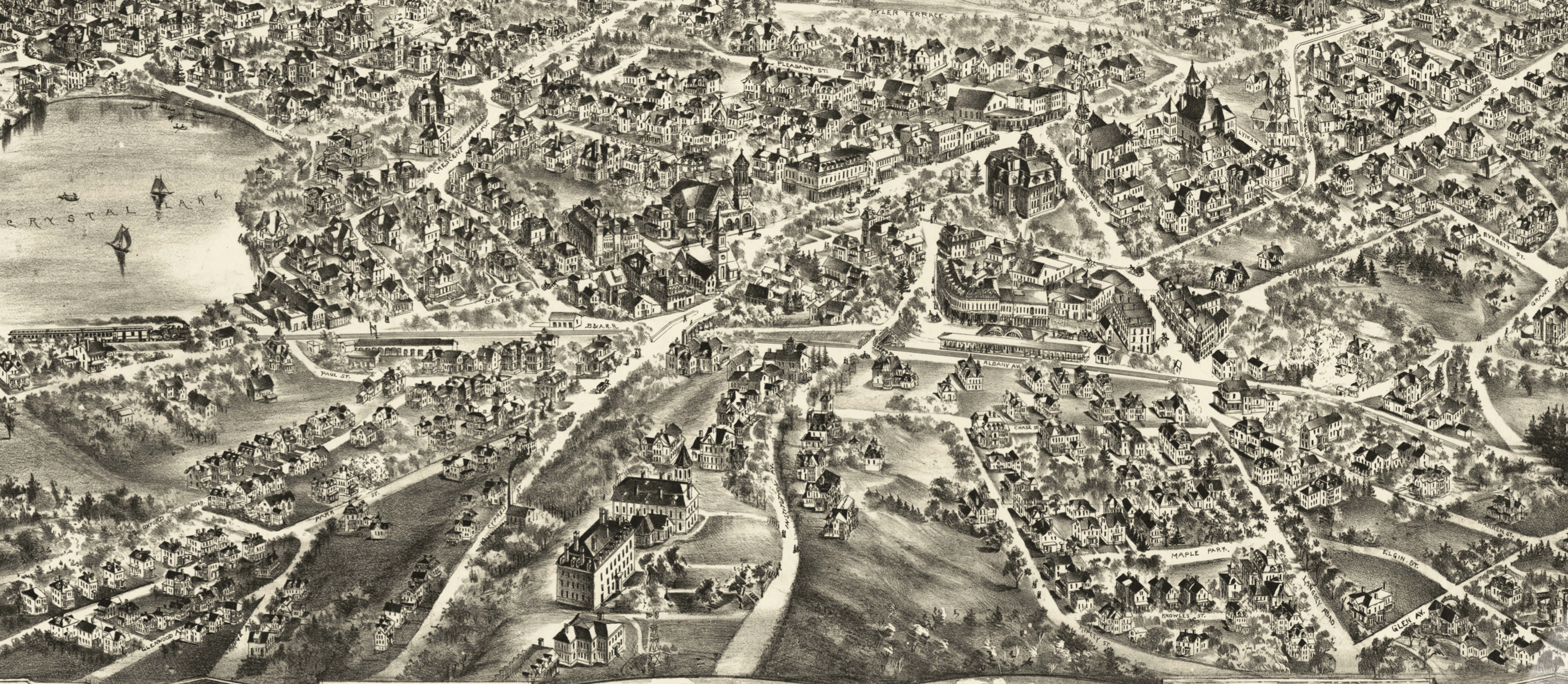
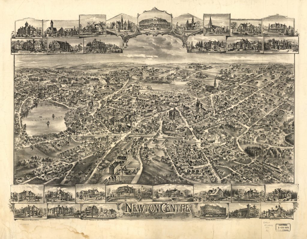
https://tedsvintageart.com/products/vintage-map-of-newton-centre-massachusetts-1897/